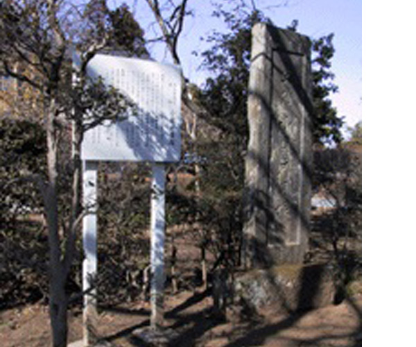
Ina’s Residence Trace (Prefecture’s Designated Monument)

sightseeing

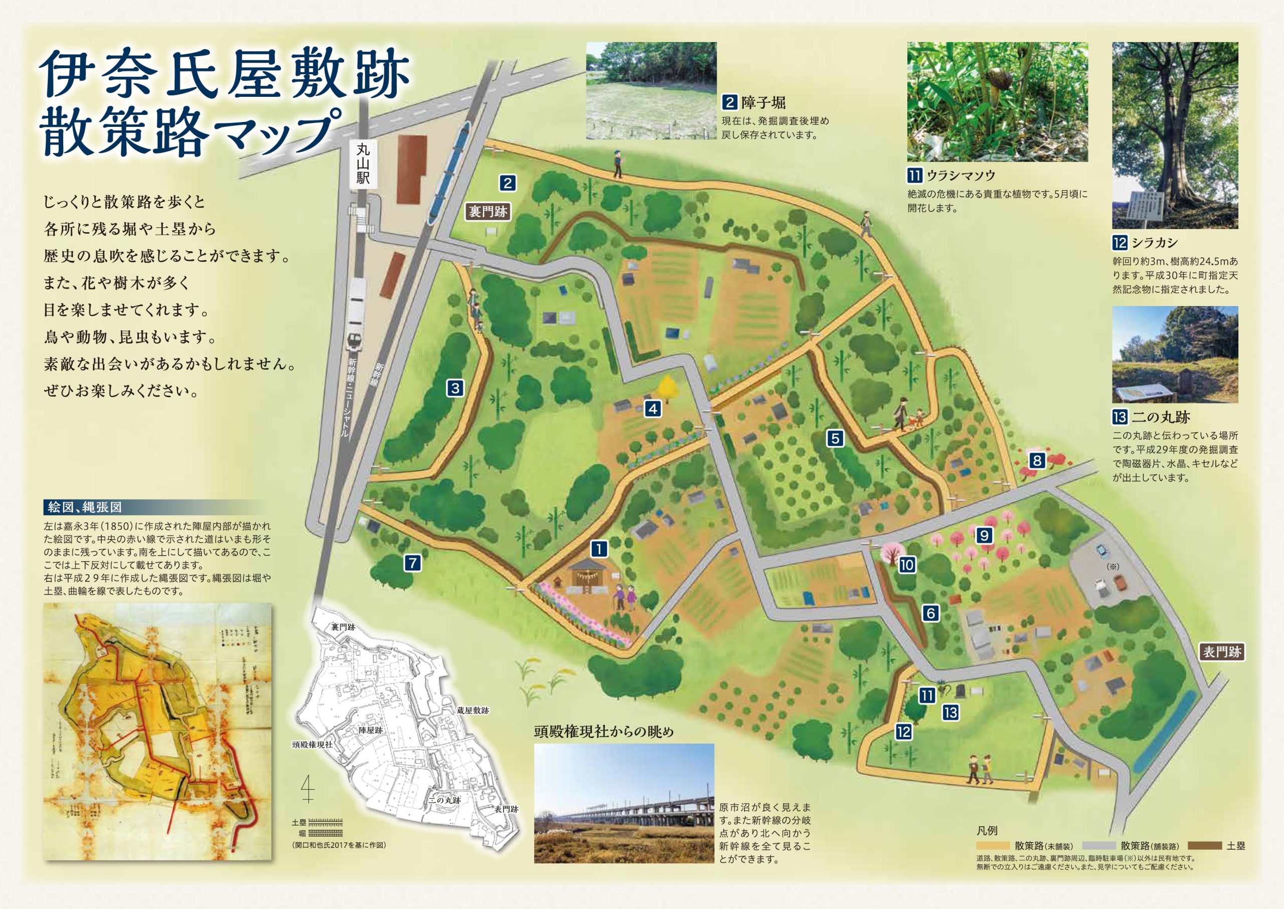
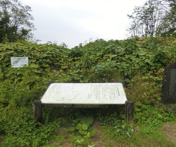
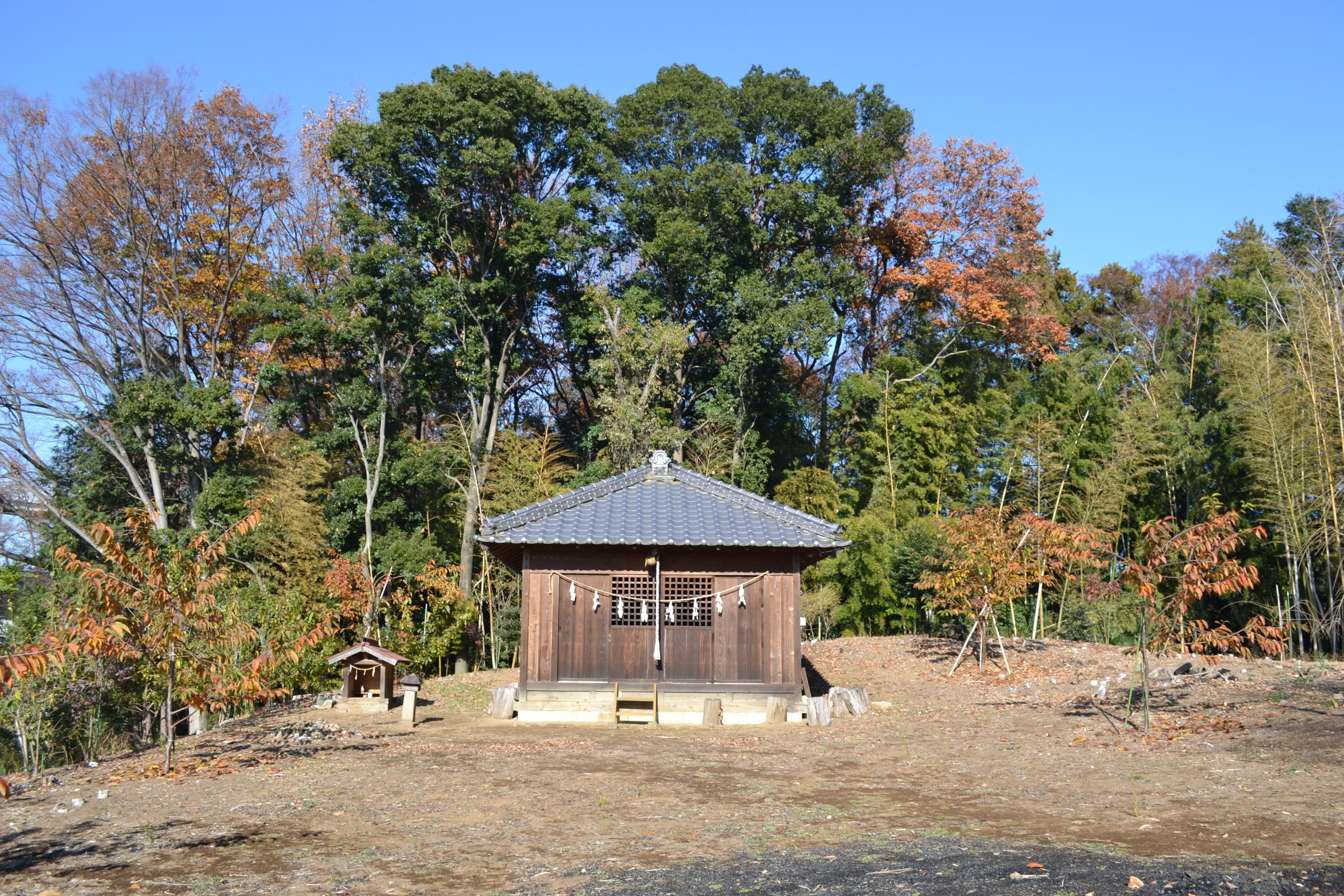
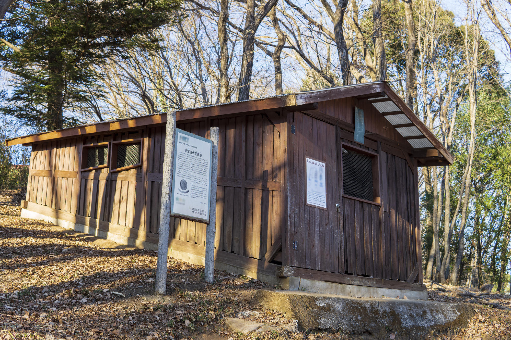
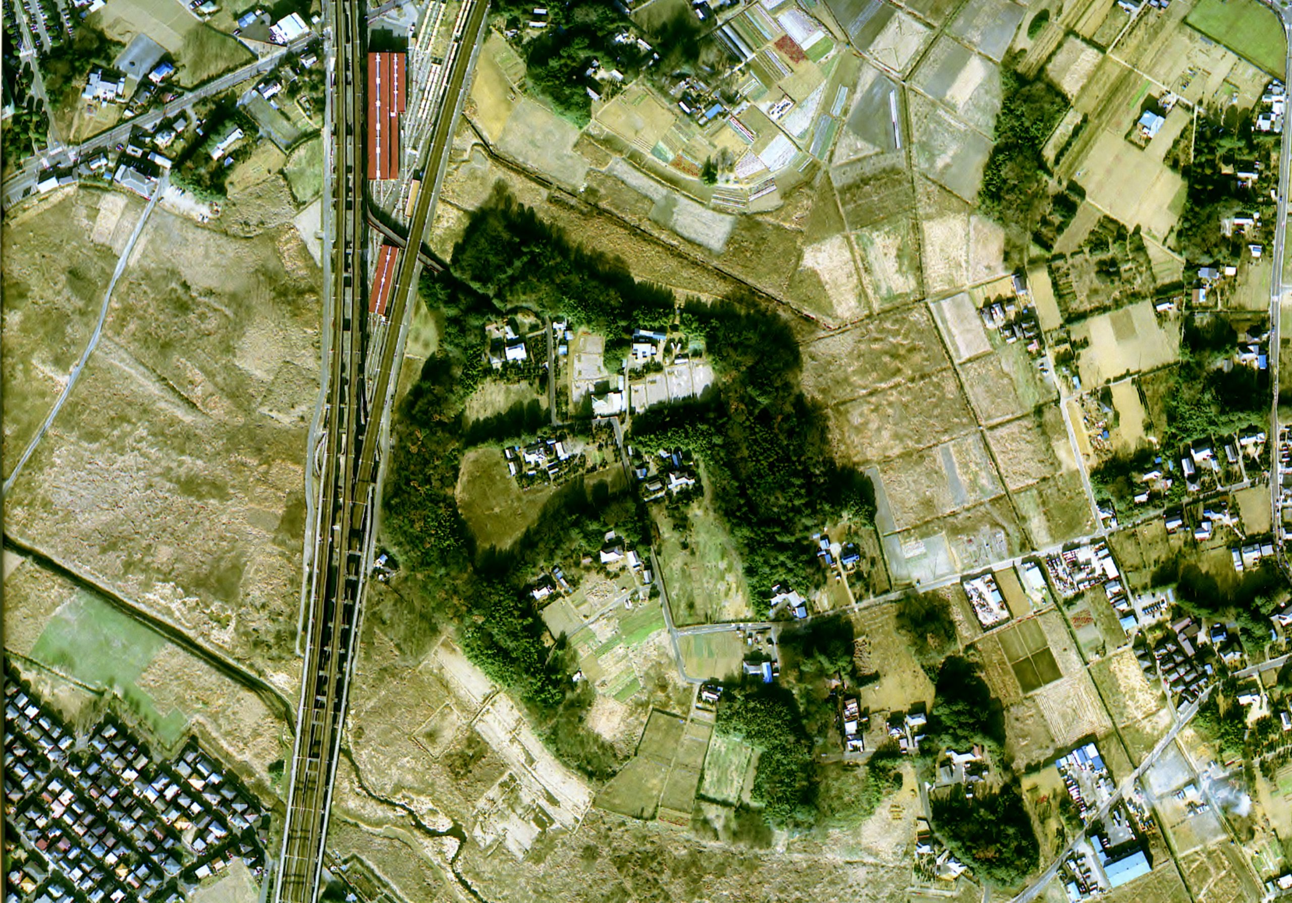
Ina town has a rich history, still visible in the seemingly ordinary townscape of today, telling the tales of many hundred years ago. For example, you can find the ruins of the encampment used by the prominent leader Tadatsugu Ina, who served under the Tokugawa shogunate during the Edo period. Tadatsugu improved irrigation channels and developed rice fields, laying the foundation for the legendary Tokugawa rule that lasted 260 years. To this day, earthworks, moats, and streets remind us of the past through their names that relate to ruins of old gates, encampments, storehouses, and other historical structures. Excavations are still under process, and new finds, such as unique earth constructions made to hinder enemy troops, are being discovered, further revealing the exciting history of Ina town.

Basic Information

Location
185, Komuro, Ina Town
TEL
048-724-1055
Event Information
In November, there will be a Tadatsugu History Festival

How to get there

Public transport
10 minutes from Maruyama Station of Saitama Shintoshi public transport (New Shuttle)
Car
There are no parking lots, so please try to avoid coming with a car.
Parking
None

Other

Remarks
The historic sites include many privately owned lands, so please do not enter spaces freely. Please visit by following manners.

Map

Nearby spots

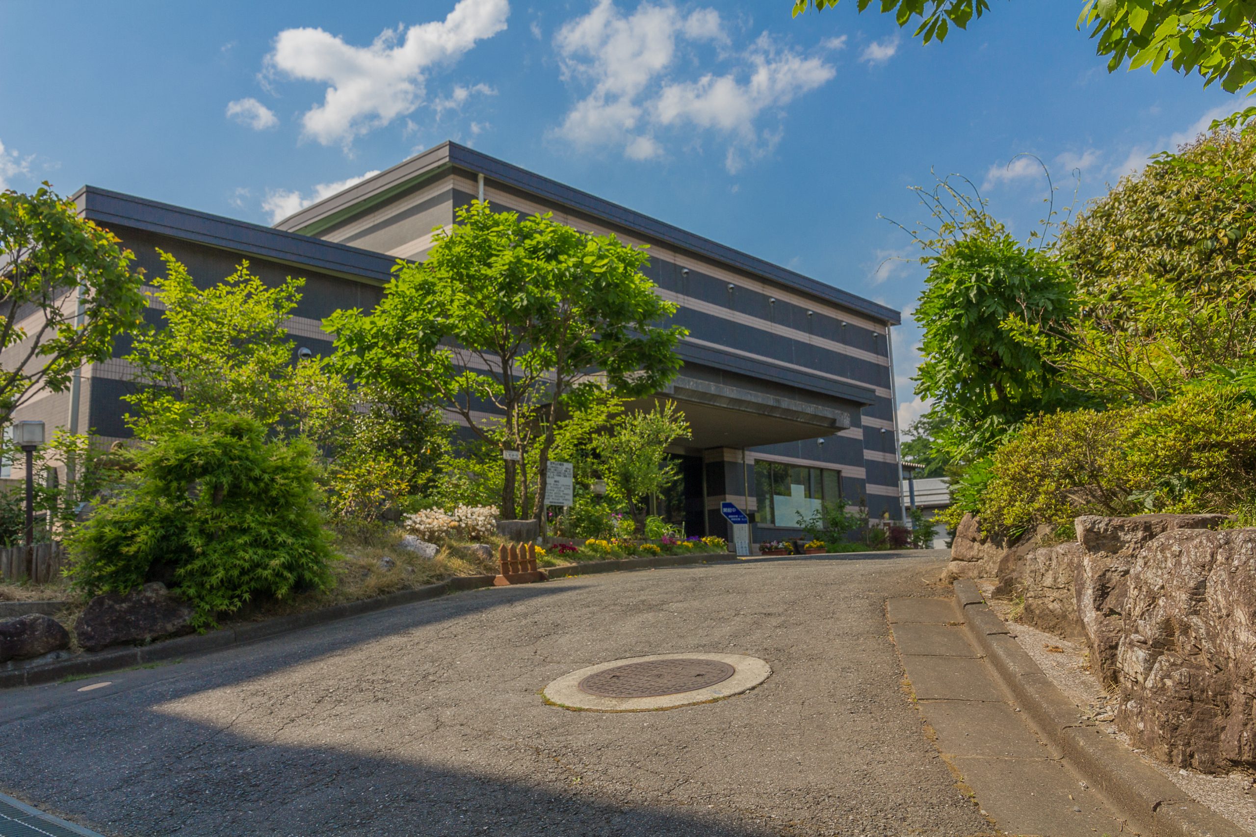
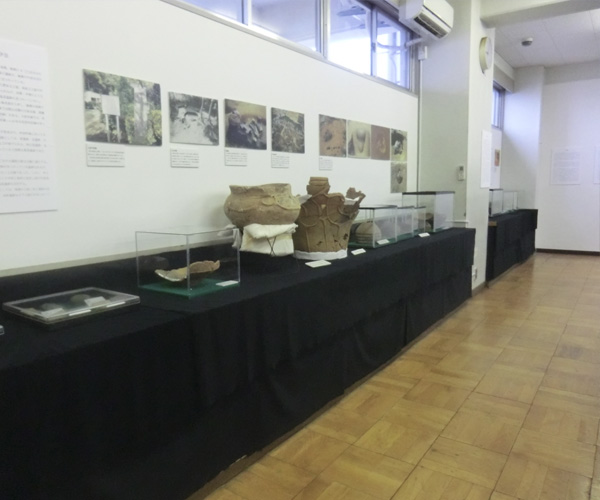
Ina Town Local Historical Archive

Here you can learn about Ina town's rich natural and cultural properties. There is a comprehensive exhibition of local treasures displaying nature, geography, history, and folklore. The location moved to Ina Municipal Minami Junior High School in April 2016. Feel free to stop by and deepen your love and understanding of the wonderful Ina town.

Greenery Trust Conservation Place No. 13 Forest of Musen-Yama ・KDDI

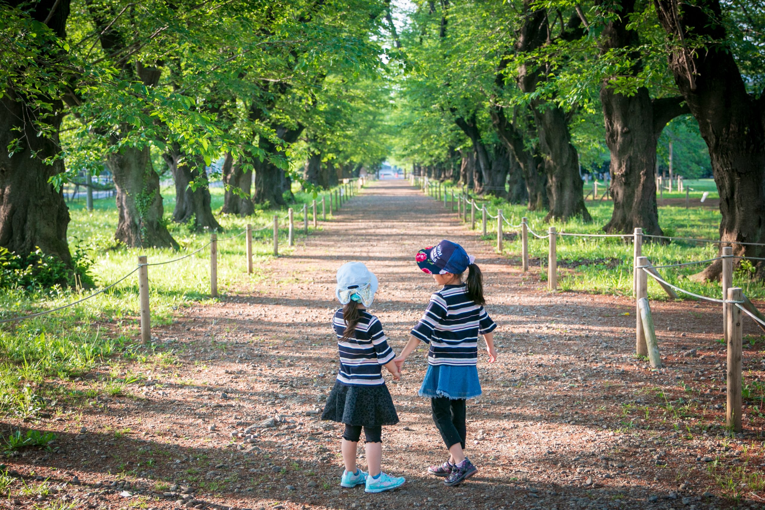
Forest of Musen yama ・KDDI, is designated as number 13 in the greenery trust conservation. The area is located on the eastern edge of Ōmiya Plateau and offers a fauna centering around the Konara (pin) oak and other deciduous broad-leaved trees. Furthermore, on the west side, there is a row of Yoshino cherry blossom trees attracting many people in the spring. There used to be a station for wireless transmission belonging to a company called 'KDDI Corporation' located here. As a result, the mountain area is nicknamed "Musen yama (the wireless mountain)", by locals.

Kogaito Shell Mound
Kogaito Shell Mound

A shell mound from the first half of the Jyōmon period (about 7,000 years ago). At this time in history, the climate was warmer and the ocean was more inland compared to now. The mound mainly consists of the Japanese basket clams that inhabit the brackish waters of the region, but there are also seashells of Japanese littleneck, common orient clam, and blood clam. The mound is located behind the Kannon statue in the 5th temple of the Adachi Bandō pilgrim route.

Seiryu Brewery
Seiryu Brewery

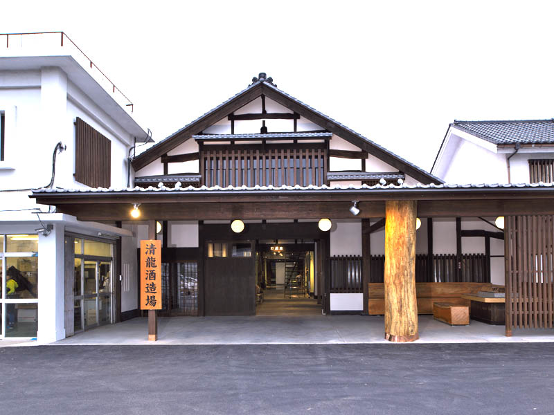
Seiryu brewery is famous for being the biggest producer in the Kanto region and offering both superb taste and production quality. Their concept of connecting face to face with customers in order to inspire trust led to the first establishment in the business where you can buy their products directly at the brewery.

Hikawakuwa Shrine
Hikawakuwa Shrine

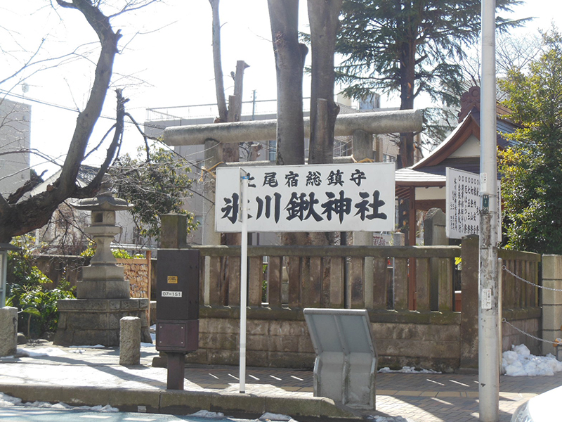
Hikawakuwa Shrine has been loved locally since its foundation in the Edo period. In addition to the main shrine, the grounds include two halls dedicated to the god of learning and Zhu Xi. A shrine monument to the life of Unmuro, the Hall of Prince Shotoku, and the Sengen Shrine.

This site uses cookies to improve the user experience. If you continue to browse, you consent to the use of cookies on this site. Accept